What Homes Cost in White Rock, BC
No benchmark price is published for White Rock, BC. Here are the FVREB August 2026 figures for the zone it sits inside, and the housing ...
READ POSTWhite Rock · Fraser Valley Real Estate
A separate city, not a Surrey neighbourhood. Five square kilometres on a south-facing slope above Semiahmoo Bay, incorporated in 1957, with its own council and its own bylaws — and Surrey wrapped around it on three sides.
It is also the most vertical housing stock on this side of the valley: roughly half the homes listed here at any time are apartments.
Walking down to the water is easy from almost anywhere here. Walking back up is the part people underestimate.

Every active White Rock listing on the Fraser Valley MLS®, filed by the board under the sub-area name White Rock. Updated through the day as homes come on and go under contract, not a weekly snapshot.




Sold data
Asking prices are public. Sold prices are not. They come off the board, and they are the only numbers that tell you what a home on your street is genuinely worth.
White Rock makes that sharper than most, because two very different markets share one name. A one-bedroom in a nineteen-seventies low-rise and a detached character home on the hillside are not the same purchase, and no average across the two describes either one.
What the city is actually like, and where its edges fall. The thing worth settling first is that it is a city — not a neighbourhood of Surrey, whatever the listing portals imply.

White Rock incorporated on 15 April 1957 and has been a municipality ever since. It covers 5.17 square kilometres, sits in the Metro Vancouver Regional District, and runs its own council, its own bylaws and its own tax rate from city hall at 15322 Buena Vista Avenue.
Surrey surrounds it on three sides. Semiahmoo Bay is the fourth. That is the whole geography, and it is why the city feels smaller than its reputation — you can cross it in a few minutes in any direction.
The practical consequence for a buyer is simple: a Surrey bylaw, a Surrey permit process or a Surrey tax rate does not apply here. If a rule matters to your decision, check it against the City of White Rock rather than against Surrey. And never write the address as “White Rock, Surrey” — it is not.
Here is the one thing that does cross the city line: the school district. Surrey Schools (SD36) serves Surrey, White Rock and Barnston Island together — 103 elementary schools, 21 secondary schools, five learning centres and three adult education centres across all of it. So a separate city, but not a separate district.
The names you will meet here are École Peace Arch Elementary, which runs dual-track English and French Immersion from kindergarten to grade seven, White Rock Elementary, and Semiahmoo Secondary, the secondary most associated with the White Rock and South Surrey peninsula.
Which school serves a given home depends on the address, not on the neighbourhood name, and I do not have street-level catchment boundaries to hand. Check the district’s own catchment tool against the real address before you rely on it. I do not rank schools here and I am not going to start.
Find homes by school catchment, enter an address and see which catchment it falls in.
White Rock Centre is the on-street bus exchange straddling the White Rock and Surrey boundary, and it is the southernmost transit hub in Metro Vancouver. Route 351 runs from there to Bridgeport Station on the Frequent Transit Network, up Highway 99.
There is no SkyTrain station in White Rock, and none anywhere in South Surrey. No extension is planned to reach it. That is the honest answer to give anyone moving from a rail-served part of the region, and it is worth hearing before you fall for the view.
Within the city, Marine Drive runs the length of the waterfront and everything else steps up the hill behind it. The slope is real, and it is the difference between a five-minute walk down to the beach and a considerably longer walk back up.
What moves a price here is form and height, not the postcode. The board reports White Rock inside the South Surrey & White Rock zone, which is consistently the most expensive of the Fraser Valley board’s zones on both the composite and the detached benchmark.
Within the city the stock splits roughly in half. Aggregator data puts detached houses at around 46% of active listings and condos and apartments at around 48%, with townhouses making up the small remainder — and a large share of the low-rise apartment stock dates from the 1960s and 1970s. Treat those as market-aggregator estimates rather than board figures; they are useful for shape, not for precision.
One thing you will see quoted elsewhere and should not trust: there is no published benchmark price for White Rock. The board publishes the zone, not the sub-area. Any “White Rock benchmark” is a South Surrey and White Rock figure wearing a smaller label. For current numbers see Market Watch.
White Rock is one of nine neighbourhoods filed together on the Fraser Valley MLS® — and the only one that is a separate city. The rest sit inside Surrey, and they are genuinely different propositions.

01
The parent page White Rock is filed under. If you are still deciding between areas rather than streets, start there — it covers all nine neighbourhoods and carries the whole area feed at once.
The umbrella page
South Surrey homes for sale→
02
Immediately west. Ocean Park borders White Rock directly and is the closest comparison if you want a house with trees rather than a slope with a view. Crescent Beach is further on, across the rail line, and is a different decision again.
Borders White Rock
Crescent Beach and Ocean Park homes for sale→
03
North of here, inside Surrey. A mix of older established homes and newer townhouses, organised around its parks rather than the water. Less expensive than the waterfront and considerably less vertical.
Inside Surrey, park-centred
Sunnyside Park Surrey homes for sale→
04
East and south, along the lower end of King George Boulevard. The most affordable entry point in this batch, and the obvious comparison if a White Rock apartment is stretching the budget.
Lower entry points
King George Corridor homes for sale→
05
Inland to the north-west, and the opposite proposition entirely. Estate lots of half an acre and up, screened by standing timber, built mostly through the eighties and nineties. Trees instead of a view.
Estate lots & ALR land
Elgin Chantrell homes for sale→Looking wider than South Surrey? I also work Cloverdale and Langley Township, or you can search every community.
Common questions
Short answers to the questions buyers ask most about White Rock — starting with the one that trips up every listing portal.
Because the Fraser Valley board organises listings by market, not by municipal boundary. It publishes an area called South Surrey White Rock and files nine sub-areas underneath it, and White Rock is one of the nine.
That is a filing convention. It is not a statement about jurisdiction, and it does not make White Rock part of Surrey. The City of White Rock incorporated on 15 April 1957, covers 5.17 square kilometres, and has its own council, bylaws and tax rate.
The board groups them because buyers shop across the line constantly. Most people looking in White Rock will also look at Ocean Park, and the reverse.
White Rock’s boundary is a municipal limit, so unlike most neighbourhood edges it is a real, drawn line rather than a matter of opinion. It runs Bergstrom Road / 136 Street on the west, North Bluff Road / 16 Avenue on the north, Stayte Road / 160 Street on the east, and Marine Drive and Semiahmoo Bay on the south.
North Bluff Road is the one worth remembering. Cross it going north and you are in Surrey, with a different city hall, a different tax rate and a different set of bylaws — on a street that looks exactly the same.
Yes to both. White Rock is a municipality in the Metro Vancouver Regional District with its own elected council, its own bylaws and its own property tax rate, run from city hall at 15322 Buena Vista Avenue.
So permits, zoning, business licensing and utilities are White Rock’s, not Surrey’s. If you are weighing something that turns on a bylaw — a secondary suite, a renovation, a tree — check it against the City of White Rock. A Surrey answer to a White Rock question is simply the wrong answer.
The exception is schools: Surrey Schools (SD36) serves White Rock as well as Surrey.
The city is small enough that people navigate it by landmark rather than by neighbourhood name. The ones you will hear are Marine Drive, the oceanfront road running the length of the city; the Promenade, which parallels it between Bay Street and Finlay Street past the restaurant row; Semiahmoo Park, where the beachfront strip ends at Finlay Street; and the pier, opened in 1914 and running roughly 500 metres out from shore.
Beyond those, the useful distinction is vertical rather than horizontal: the waterfront strip, and the hillside streets above it. They are different housing and different prices.
The board does not split White Rock into sub-areas of its own, so a listing will not tell you which part it is in — the address will.
Yes — Ocean Park runs east until it meets the City of White Rock, and the two are immediate neighbours on the ground.
What changes at that line is jurisdiction. Ocean Park is a neighbourhood of the City of Surrey; White Rock is its own city, with its own council, bylaws and tax rate. The street does not announce it, and the houses on either side can look much the same.
On the MLS® they are separate too: one is filed under White Rock, the other under Crescent Bch Ocean Pk. — abbreviated, full stop included. So if you are weighing something on that boundary, check which of the two it is filed under, and check which city’s rules apply to it. Both answers matter and neither is obvious from the address alone.
Because they inherit it from the board. The Fraser Valley MLS® area is South Surrey White Rock, and every portal that resells that data reproduces the hierarchy, which puts White Rock inside a name containing the word Surrey.
It is a market grouping, not a municipal one, and the two get conflated constantly — including by pages that should know better. White Rock is not part of Surrey and never has been.
Practical version: if you want White Rock only, use the sub-area rather than the area. This page carries the sub-area feed, so what is above is White Rock and nothing else.
Physically, most of it is close — the city is only 5.17 square kilometres. But distance is not the thing that decides it here. The slope is.
White Rock sits on a south-facing hillside above Semiahmoo Bay. Walking down to Marine Drive and the Promenade is easy from almost anywhere. Walking back up is a different proposition, and it is the single most common thing people underestimate when they buy on the hill for the view.
If walking to the water matters more than the view does, look at the flatter streets near the waterfront and the buildings on Marine Drive itself. If the view matters more, buy up the hill and accept the climb — or check the bus, because White Rock Centre is the region’s southernmost transit hub.
Neighbourhood guides, school catchment notes and market explainers, written for people weighing whether White Rock is the right fit.
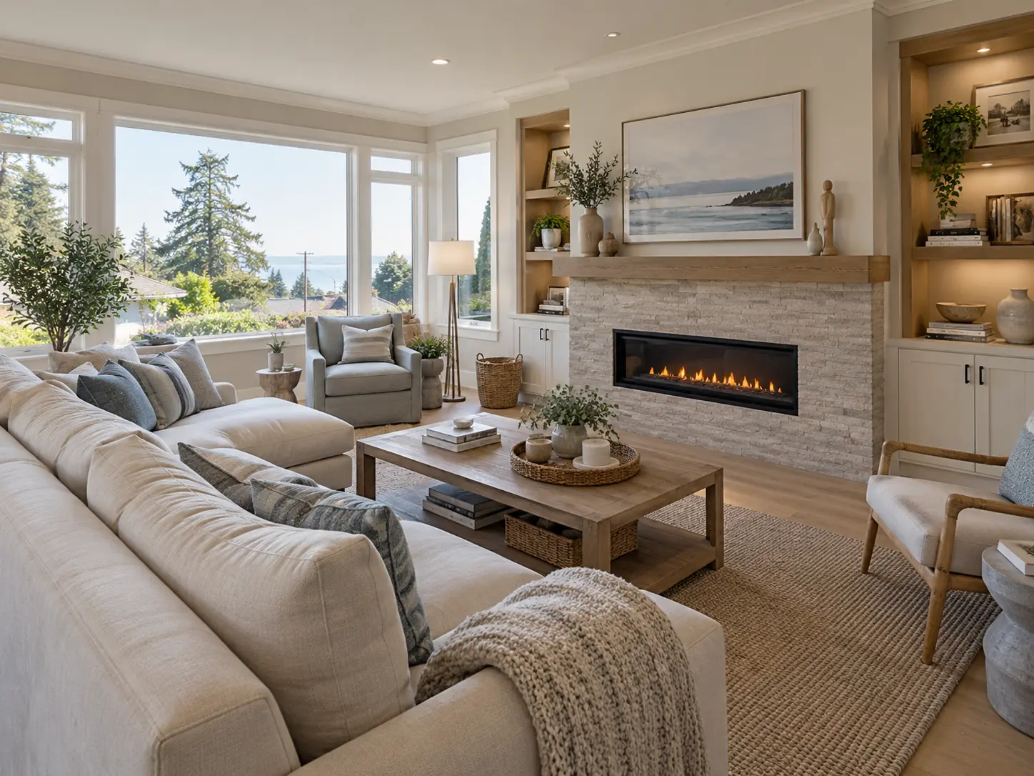
No benchmark price is published for White Rock, BC. Here are the FVREB August 2026 figures for the zone it sits inside, and the housing ...
READ POST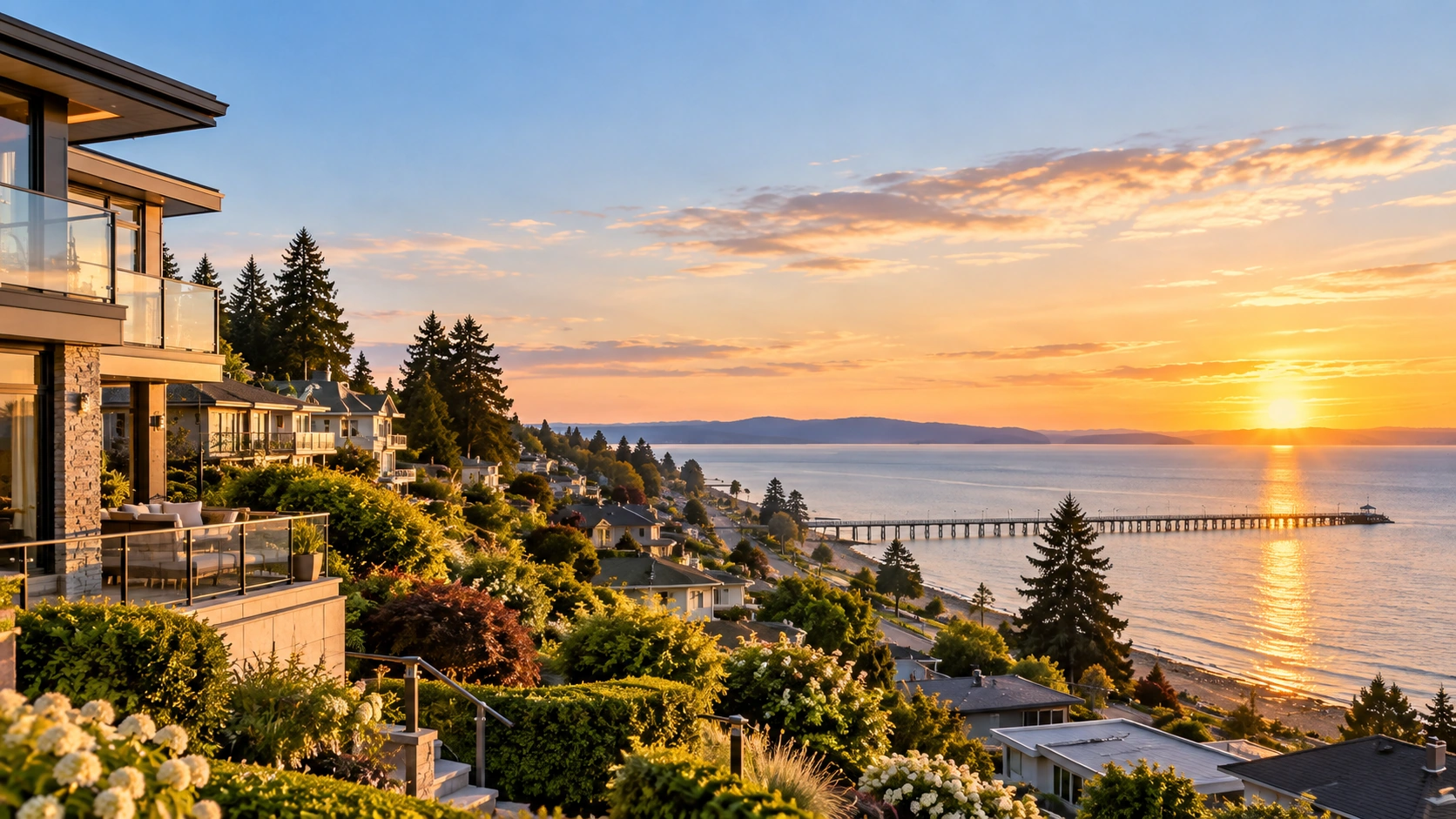
What living in White Rock, BC is actually like — its own city, not a Surrey neighbourhood. Housing stock, the pier and promenade, schools, ...
READ POST
Your White Rock REALTOR®
I am a REALTOR® specializing in Cloverdale, Surrey, Langley, White Rock and the Fraser Valley, where I have lived and worked for over 20 years.
I am here to guide you and answer your questions so you feel confident moving forward with whatever you decide. If I do not have the answer, I will find out for you — I would rather be your resource going forward than sound certain about something I have not checked.
If you and I met for the first time, I would want to know a bit more about you before anything else. What is the goal, where do you want to be, and what is the plan? Then it is a question of whether White Rock actually fits it — and whether it is the city or the neighbourhood next door that you are really after.
No pressure and no deadline — a conversation about what you are weighing is genuinely useful on its own. More about how I work
What sold in Cloverdale, Langley and South Surrey, what it went for, and what that means if a move is somewhere on your list. Short enough to read on the way to school pickup.
First name and email, nothing else. Unsubscribe whenever you like.
 The data relating to real estate on this website comes in part from the MLS® Reciprocity program of either the Greater Vancouver REALTORS® (GVR), the Fraser Valley Real Estate Board (FVREB) or the Chilliwack and District Real Estate Board (CADREB). Real estate listings held by participating real estate firms are marked with the MLS® logo and detailed information about the listing includes the name of the listing agent. This representation is based in whole or part on data generated by either the GVR, the FVREB or the CADREB which assumes no responsibility for its accuracy. The materials contained on this page may not be reproduced without the express written consent of either the GVR, the FVREB or the CADREB.
