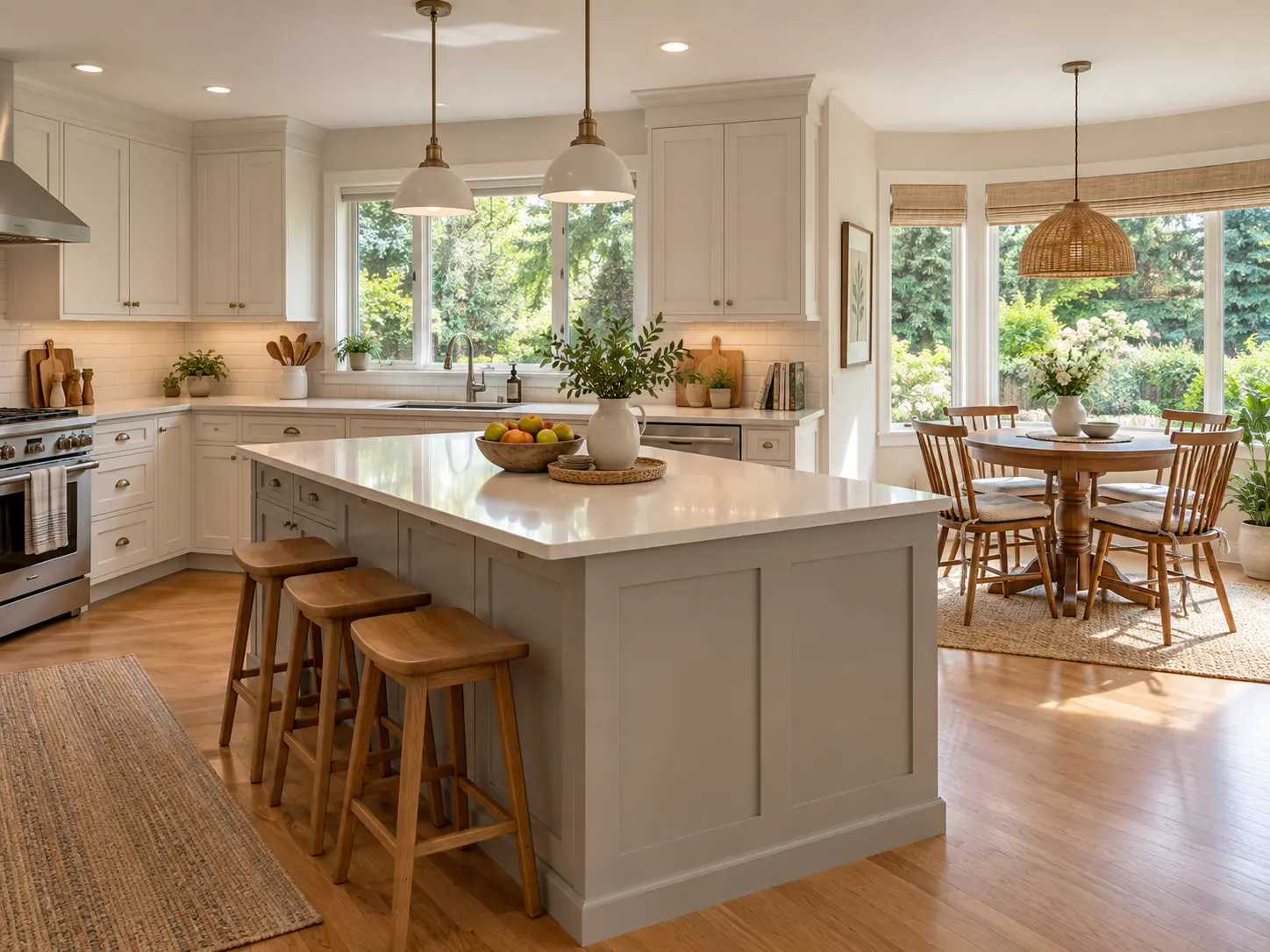
Hazelmere, South Surrey, BC is the semi-rural corner of the South Surrey peninsula, inside the City of Surrey, BC, sitting east of Highway 99 near the United States border. Expect farms and acreage properties rather than subdivision streets, two golf courses close at hand, one elementary school, and a routine built entirely around a vehicle.
What this corner of South Surrey, BC is actually like
Hazelmere, South Surrey, BC is a semi-rural pocket of the City of Surrey east of Highway 99, settled as Hall's Prairie in 1878 as one of Surrey's first farming areas, and still made up largely of farms and acreage properties rather than subdivision lots.
That history is not decoration. It is the reason the area looks the way it does today. Where most of South Surrey, BC was subdivided and built out over the last forty years, this pocket stayed in large parcels, and the result is a landscape of fields, tree lines and long driveways instead of a street grid with a sidewalk on both sides.
The second thing to understand is the quiet, and how literal it is. There is no retail high street here, no village core, no cluster of coffee shops. Neighbourhood profiles describe development and industry as beginning to move into the area, so the stock is not frozen in place — but the character today is still rural-acreage, and a buyer should look at it as it is rather than as it might be in a decade.
The third thing is that everything is a drive. Groceries, services, schooling past elementary and most of the peninsula's amenities sit outside the area. That is a genuine trade, and better said plainly than discovered on a third weekend of looking.
The land and what sits on it
This is acreage country. Hazelmere, South Surrey, BC is described as comprised mostly of farms and acreages, and that description — rather than a housing-mix percentage — is the honest version of the answer.
There is no verified count or percentage of acreage properties versus newer development for this area, and I won't publish an estimate dressed up as a figure. What I can tell you is what the properties are: large parcels, agricultural and rural-residential in character, with houses set well back from the road, and a working-land history still visible from the roadside.
Two things follow from that, and they are the difference between a smooth purchase and an expensive surprise:
Land in and around this part of South Surrey, BC can sit inside the Agricultural Land Reserve. Whether a specific parcel is in the ALR, what the ALR permits on it, and how any farm classification applies are questions for the Agricultural Land Commission, the City of Surrey and a real estate lawyer. Those bodies give you a defensible written answer. A listing description does not, and neither does a blog post — including this one.
Servicing on a rural parcel is property-specific. Water supply, wastewater, access and utilities on a large rural lot are not the same as on a serviced suburban lot, and the answers belong to the property, not the neighbourhood. Confirm them for the specific address, through the City of Surrey and the professionals you retain, before you rely on them.
Those two points are the ones most writing about this area skips, and they determine what a buyer can actually do with a property after closing.
Where it sits, and why the boundary is fuzzy
Hazelmere, South Surrey, BC sits east of Highway 99, close to the United States border, with road access west and north toward White Rock, BC, Crescent Beach and the peninsula's main commuter routes.
That is deliberately the level of precision I'll give, because no City of Surrey planning document draws this neighbourhood's boundary with named streets. The edges are described by the real-estate industry rather than defined by the municipality, so two brokerages can disagree about whether a given property is "in" the area at all. If the boundary matters to your decision — and on a rural parcel it often does, because it affects nothing legally but affects comparables considerably — the parcel's own legal description and the City's zoning map are the sources to use, not a neighbourhood profile.
Schools
Halls Prairie Elementary School is described as the only school in the community, and it carries a long history: it stands on the site of an original schoolhouse that opened in 1884. Older students are bused out of the area to Earl Marriott Secondary School.
I'm naming those, not ranking them. And there's a caution that matters more here than in most areas: Surrey catchments are assigned by address, not by neighbourhood name, and they change. On large parcels spread across a semi-rural area, two properties a few minutes apart can sit in different catchments. If schooling is part of the decision, confirm the current catchment for the specific property with Surrey Schools before you write an offer. That's a five-minute check, and occasionally it changes which property a family buys.
What's actually here
The named fixtures in Hazelmere, South Surrey, BC are recreational and agricultural rather than commercial. The Hazelmere Golf and Tennis Club opened in 1962 and is the area's best-known fixture. The neighbouring Peace Portal Golf Course sits close by, which means two courses are within a short drive of most addresses here — unusual density for something that normally requires a highway trip.
Beyond golf, the named local fixtures are Hall's Prairie Country Market Day and Hazelmere Organic Farm. That is the honest inventory. If you are picturing a walkable set of shops and restaurants, that is a different part of the peninsula, and there are several of them.
Getting around
There is no SkyTrain anywhere in South Surrey, BC, and none is planned for this area.
Highway 99 is the spine, running north toward Metro Vancouver and south to the border. Access to White Rock, BC, Crescent Beach and the rest of South Surrey, BC is by road, and the trips are short by distance but entirely vehicle-dependent.
On buses: I won't name a route number here, because none is confirmed by TransLink for these roads, and a wrong route number is worse than none. Check TransLink's own map for the specific address if transit is part of your plan. A semi-rural area of large parcels is not where transit coverage is strongest anywhere in Metro Vancouver, and a vehicle per adult is the realistic assumption.
Who this area suits
It suits a buyer specifically looking for acreage and a rural setting inside the City of Surrey, BC, rather than one who lands here while shopping for a house and finds the lot happens to be large.
It suits people who want golf close by, and who are comfortable that the rest of the week's errands happen elsewhere.
It suits households with a vehicle per adult and no reliance on transit.
It suits buyers prepared to do property-level due diligence — zoning, ALR status, servicing — through the City of Surrey, the Agricultural Land Commission and their own lawyer, and who treat that work as part of the purchase rather than a formality at the end.
It is a weaker fit for someone who wants new-build subdivision product, for a buyer who wants walkable village or waterfront living, or for anyone who needs a short transit commute.
The honest trade-offs
Everything is a drive. No retail core, no walkable services, secondary school outside the area.
Due diligence is heavier than on a suburban lot. ALR status, zoning and servicing are property-specific questions with professional answers, and they take time to get properly.
The boundary is industry-drawn, not municipal. Which parcels count as being in this area depends on who drew the map, which makes comparables harder to assemble than in a subdivision.
Thin public information. There is genuinely less published data about this pocket than about the rest of the peninsula — no municipal boundary map, no verified housing-mix split, no published benchmark. That is a real feature of buying here, not a gap I'm papering over.
Change is on the table. Development and industry are described as beginning to move into the area. What that means for any specific parcel is a zoning and planning question, not a prediction worth making in a blog post.
What the numbers can and can't tell you here
There is no published benchmark price for Hazelmere, South Surrey, BC. That isn't an oversight — the Fraser Valley Real Estate Board publishes MLS® Home Price Index benchmarks by zone, and this area has never been one of them. This was checked directly against the board's own zone list rather than assumed. Anyone quoting you a precise Hazelmere average is estimating without saying so, or repeating a listing-aggregator figure that carries no board authority.
What is published is the South Surrey & White Rock zone, and those figures span the City of White Rock plus every South Surrey neighbourhood — the waterfront condos, the townhouse pockets, the new-build subdivisions and this semi-rural corner, all in one number. As of August 2026, the FVREB zone-wide benchmarks were: composite $1,010,000, down 7.2% year over year; detached $1,649,200, down 7.5%; townhouse $820,300, down 11.1%; apartment $550,800, down 6.2%. Board-wide, the Fraser Valley sales-to-active-listings ratio was 10% in August 2026 — below the 12–20% range the board describes as balanced — on 941 MLS® sales, up 1% year over year.
Here is the part that matters for this area specifically. A zone benchmark built largely on serviced suburban housing is a particularly poor proxy for an acreage property. The benchmark tracks a notional typical home, and nothing about a large rural parcel is typical of the stock that sets that number. Read the zone figures as market direction — prices are down across every segment of this zone over the year — and not as a valuation of anything here.
If you want a real number for a real property, that is a conversation about specific comparable sales, and on parcels this variable it is the only version of the question worth answering. You can browse Hazelmere homes for sale, or widen it to South Surrey and White Rock, BC homes for sale, and I'm glad to walk you through what's actually available.
Frequently Asked Questions
Who is Hazelmere, South Surrey, BC actually a good fit for?
Buyers specifically looking for acreage and a rural setting inside the City of Surrey, BC, who want golf close by and are comfortable driving for everything else. It suits households with a vehicle per adult and no reliance on transit. It's a weaker fit for anyone who wants new-build subdivision product, walkable village or waterfront living, or a short transit commute.
What kind of properties are in Hazelmere, South Surrey, BC?
Predominantly farms and acreage properties. This is one of Surrey's original farming areas, settled as Hall's Prairie in 1878, and the large-parcel character has largely stayed intact while the rest of the peninsula subdivided. There is no verified percentage split of acreage versus newer development for this area, so any precise mix figure you're quoted is an estimate rather than a published number.
How do I find out whether a property in Hazelmere, South Surrey, BC is in the Agricultural Land Reserve?
Ask the Agricultural Land Commission, the City of Surrey and a real estate lawyer, for the specific parcel. ALR status, what it permits, and any farm-classification question are legal and zoning matters that need a written answer from the bodies that decide them. A listing description isn't a source for it, and neither is a blog post.
Which schools serve Hazelmere, South Surrey, BC?
Halls Prairie Elementary School is described as the only school in the community, standing on the site of a schoolhouse that opened in 1884, and older students are bused to Earl Marriott Secondary School. Surrey catchments are assigned by address rather than by neighbourhood, so confirm the current catchment for the specific property with Surrey Schools before you make an offer.
Is there a published benchmark price for Hazelmere, South Surrey, BC?
No. The Fraser Valley Real Estate Board publishes benchmarks by zone, and this area has never been one of them. The published figures are for the South Surrey & White Rock zone as a whole: as of August 2026, composite $1,010,000, down 7.2% year over year, and detached $1,649,200, down 7.5%. A zone benchmark built largely on serviced suburban housing is a particularly poor proxy for an acreage property.
Where exactly is Hazelmere, South Surrey, BC?
East of Highway 99, close to the United States border, with road access toward White Rock, BC, Crescent Beach and the peninsula's commuter routes. There is no City of Surrey planning document that draws the neighbourhood's boundary with named streets, so the edges are described by the real-estate industry rather than defined by the municipality. For a specific property, use the parcel's legal description and the City's zoning map.
If a specific school is driving your search, you can find homes by school catchment rather than by neighbourhood — catchment boundaries don't always follow the lines you'd expect, and two homes a few blocks apart can be assigned to different schools.
Related Reading
Living in Elgin Chantrell, South Surrey, BC: What It's Actually Like
Living in Morgan Creek, South Surrey, BC: What It's Actually Like
Living in Pacific Douglas, South Surrey, BC: What It's Actually Like
About the Author
The properties in this part of South Surrey, BC are the kind where the answer to "what is it worth" depends entirely on the parcel, which is why Caroline Jeklin would rather pull comparable sales than quote an area average. She is a REALTOR® with Royal LePage Wolstencroft Realty, licensed since 2021, and she received the Royal LePage President's Gold Award in 2025, placing her in the top 6–10% of agents in her local marketplace. Between 2021 and 2026 she has been part of 57 transactions across the Fraser Valley, from $302,000 to $4,200,000, as of August 2026. Her approach is to understand what you're actually trying to do first, tell you honestly where a question belongs to someone else — a lawyer, a notary, a mortgage broker — and never push. Read more about Caroline Jeklin, or reach her directly at 604-319-5052 or caroline@carolinejeklin.com.

 The data relating to real estate on this website comes in part from the MLS® Reciprocity program of either the Greater Vancouver REALTORS® (GVR), the Fraser Valley Real Estate Board (FVREB) or the Chilliwack and District Real Estate Board (CADREB). Real estate listings held by participating real estate firms are marked with the MLS® logo and detailed information about the listing includes the name of the listing agent. This representation is based in whole or part on data generated by either the GVR, the FVREB or the CADREB which assumes no responsibility for its accuracy. The materials contained on this page may not be reproduced without the express written consent of either the GVR, the FVREB or the CADREB.
Comments:
Post Your Comment: