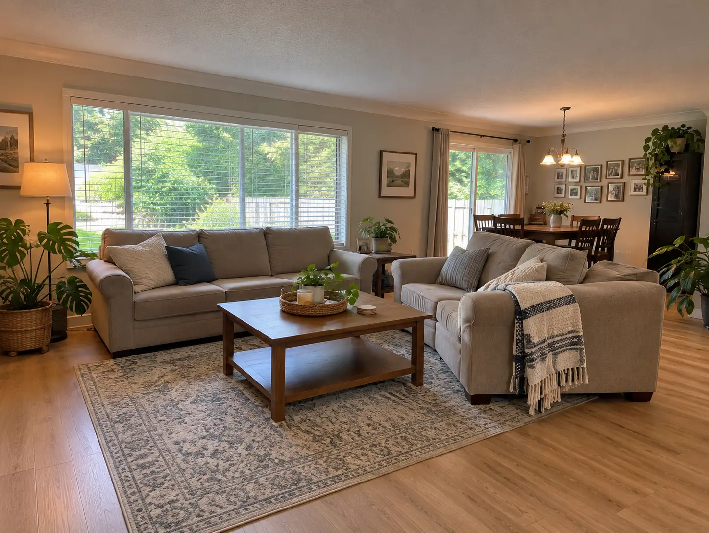
Pacific Douglas, South Surrey, BC is a newer neighbourhood of South Surrey, in the City of Surrey, BC, tucked against the Canada–US border between the Peace Arch and Pacific crossings. Expect recent detached homes, townhomes and low-rise condos, direct Highway 99 access, and amenities that are still being planned rather than already built.
What Pacific Douglas, South Surrey, BC is actually like
Pacific Douglas, South Surrey, BC is one of the city's newest built-out areas, sitting east of Highway 99 and north of the Canada–US border, where most of what you see on the street was built recently rather than grown in over decades.
That is the honest headline. This part of South Surrey, BC was historically rural and has been developed comparatively recently, so the streetscape reads as new: newer roofs, newer landscaping, newer strata buildings, blocks laid out all at once rather than filled in over fifty years. If you have been looking at Ocean Park, South Surrey, BC or Sunnyside Park, South Surrey, BC and finding them settled and mature, this is the opposite end of that spectrum.
It is also a small, defined pocket rather than a sprawling district. The City of Surrey's own planning area here — the Douglas Neighbourhood Concept Plan — covers roughly 61 hectares, about 150 acres, which is one reason the area feels quieter than its position on a major highway corridor might suggest.
The City of Surrey's own plan for this area
Most neighbourhood write-ups in South Surrey, BC lean on real-estate marketing pages, because for a lot of these sub-areas that is all that exists. Pacific Douglas, South Surrey, BC is one of the exceptions.
The City of Surrey plans this area under the Douglas NCP — a Neighbourhood Concept Plan, which is the City's formal document setting out land use, density and servicing for a specific area. The Douglas NCP covers roughly 61 hectares (150 acres), generally east of Highway 99, west of Highway 15, and north of the Canada–US border. That is a checkable boundary from the municipality itself, not a real-estate boundary drawn to suit a listing.
One name distinction matters here, because it trips up a lot of readers. Grandview Heights is the City of Surrey's much broader planning area — roughly 1,050 hectares, about 2,600 acres — and this neighbourhood sits inside it, alongside Morgan Creek, South Surrey, BC and Grandview Surrey, South Surrey, BC. So when a page says "Grandview Heights," it may be talking about the whole 2,600-acre planning swath rather than any one neighbourhood in it. The wider Grandview Heights and Douglas planning boundary runs roughly from 32 Avenue in the north to 0 Avenue and the border in the south, with 176 Street on the east and Highway 99 on the west.
So if you are reading development notices, rezoning applications or traffic studies for this part of South Surrey, BC, check which boundary the document uses. A plan for Grandview Heights is not necessarily a plan for these streets.
The housing stock
This is a new-build area, and the mix is broader than the detached-only picture people carry into South Surrey, BC: detached houses, townhomes and low-rise condominiums, often within the same few blocks.
Named developments in the area give you the clearest picture of the product:
Douglas Green Living (Panorama West Group) — 59 condominium units across two five-storey mid-rises, plus 33 townhomes.
Summerfield — a master-planned community with a single-family, townhouse and condominium mix.
The Crossing (Gramercy Homes) — townhomes.
Douglas Point — a gated community of rancher-style townhomes. It is the gated one; the neighbourhood as a whole is not gated, and anyone telling you otherwise is describing that single development.
South Point Walk — a mixed condominium and townhouse project.
The rancher-style townhome is worth flagging on its own. It is scarce across the Fraser Valley and it is what a lot of right-sizing buyers are actually after: main-floor living, without taking on a full detached lot and its maintenance.
New stock cuts the other way from the older neighbourhoods. You are not buying someone's 1978 roof and drainage. You are buying into strata corporations with short histories, warranty periods that will run out, and a neighbourhood where further construction is planned. Read the strata documents properly and ask what is still to be built nearby — and put those questions to your inspector, a strata-document reviewer and your lawyer or notary.
The border crossings, Highway 99, and getting around
The defining piece of geography here is the border. This neighbourhood takes its name from the Douglas border crossing, and it sits between the Peace Arch and Pacific crossings, with the Canada–US line as its southern edge. The Peace Arch Border Crossing connects Surrey, BC to Blaine, Washington.
Practically, that means two things. The crossings are close, measured in minutes rather than in a highway trip. And the roads that serve them are the roads you will use for everything else: Highway 99 runs along the western side, north toward Richmond and Vancouver and south to the border, and Highway 15 is the eastern route, connecting to the Pacific Highway crossing.
What that proximity means day to day depends on how often you actually cross. For a household that never does, it is a highway interchange like any other, and the more relevant question is the northbound Highway 99 commute at 7:30 on a Tuesday. Test that drive yourself rather than taking my word for it.
On transit: there is no SkyTrain in South Surrey, BC, and I won't quote a bus route that TransLink's own schedule doesn't confirm for these streets. Plan on driving, and check current TransLink service for the address you are considering.
Schools
Schools reported as serving this part of South Surrey, BC include South Meridian Elementary, Pacific Heights Elementary, Halls Prairie Elementary and Peace Arch Elementary, with Earl Marriott Secondary at the secondary level, and independent Southridge School in the area as well.
I am naming those, not ranking them, and the caveat matters: that list comes from an area profile rather than from the Surrey school district directly. Surrey catchments are drawn by address, not by neighbourhood, and they get adjusted as enrolment shifts — which in a growing area is exactly the situation. Confirm the current catchment for the specific property with Surrey Schools before you write an offer. It occasionally changes which house a family buys.
What is here, and what is not yet
The City of Surrey has announced plans for a new community centre and for park and trail improvements as this part of South Surrey, BC grows. Those are announced plans. There is no named, already-built park or trail of its own here yet, and the ones you'll see listed belong to neighbouring areas.
One amenity this neighbourhood does not have: the Pier and Promenade in the City of White Rock, BC belong to that city, a municipality separate from Surrey. They are a drive away and they are not this neighbourhood's amenity, whatever the listing copy implies.
For everyday shopping, the large retail nodes of South Surrey, BC — the Croydon Drive and 24 Avenue cluster up in Grandview Surrey, South Surrey, BC — are a short drive north on Highway 99 rather than a walk. If a walkable high street is a must-have, this is not that neighbourhood, and it is better to know now than after three weekends of viewings.
Who this area suits
It suits a buyer who wants recent construction and is comfortable that the amenity build-out is still under way rather than finished. It suits households that cross the border often enough for the location to matter, right-sizing buyers looking for a rancher-style or single-level townhome, and families who want new-build space and are willing to drive for most trips.
It is a weaker fit for someone who wants a mature streetscape, a walkable village core, or a nearby park they can name today. Those exist elsewhere in South Surrey, BC.
The honest trade-offs
Amenities are planned, not built. A community centre and trail improvements have been announced, and announced is not open. Buy for what is there now.
Ongoing construction. More development is planned in and around this area — trucks, noise and changing sightlines for some households. Ask what is approved on the blocks around any home you are seriously considering.
Car dependency. Everything above assumes a vehicle. No rapid transit, and the shopping is a drive.
New strata, short history. Newer buildings mean less deferred maintenance and also less operating history. The depreciation report, the contingency reserve fund and the warranty position are the documents to read, and that review is a professional's job, not a blog's.
What the numbers can and cannot tell you here
There is no published benchmark price for Pacific Douglas, South Surrey, BC, and there never has been. I checked this against the source rather than assuming it. The Fraser Valley Real Estate Board publishes benchmarks by zone, and the relevant zone is South Surrey & White Rock — a single zone spanning the City of White Rock and all eight Surrey sub-areas of South Surrey, BC. No sub-area within it is broken out.
What is published, for that whole zone, as of August 2026:
Those are zone-wide figures covering White Rock and all eight Surrey sub-areas, not a number for these streets. South Surrey & White Rock is the most expensive FVREB zone on composite — ahead of Langley at $948,600, Cloverdale at $930,900, Surrey-Central at $912,700 and North Surrey at $640,800 — and its townhouse segment is the weakest performer in the board table at −11.1%. Board-wide, the sales-to-active-listings ratio was 10% in August 2026, below the 12–20% range considered balanced, on 941 MLS® sales, up 1% year over year.
A precise average quoted for this neighbourhood alone came from a listing aggregator's own arithmetic, not from the board, and it does not carry the same authority. What the housing mix tells you instead is useful: this is newer product across detached, townhome and low-rise condominium forms, which sits differently against a zone benchmark weighted by older detached stock elsewhere in South Surrey, BC and in White Rock, BC.
A real number on a real house is a comparable-sales conversation rather than a blog post. You can browse Pacific Douglas homes for sale, or widen it to South Surrey and White Rock, BC homes for sale — and I am glad to walk through what is on these blocks.
Frequently Asked Questions
Who is Pacific Douglas, South Surrey, BC actually a good fit for?
Buyers who want recent construction and are comfortable that the area's amenities are still being planned. It works for households that cross the Canada–US border often, for right-sizing buyers after a rancher-style or single-level townhome, and for families wanting new-build space who are fine driving. It is a weaker fit for anyone wanting a mature streetscape or a walkable village core.
What kind of homes are in Pacific Douglas, South Surrey, BC?
A mix of newer detached houses, townhomes and low-rise condominiums, often within the same few blocks. Named developments include Douglas Green Living, with 59 condominium units across two five-storey mid-rises plus 33 townhomes, Summerfield, The Crossing, South Point Walk, and Douglas Point, a gated community of rancher-style townhomes. Douglas Point is the gated development; the neighbourhood as a whole is not.
How close is Pacific Douglas, South Surrey, BC to the border crossings?
Very close. The neighbourhood is named for the Douglas border crossing and sits between the Peace Arch and Pacific crossings, with the Canada–US border as its southern edge. The Peace Arch Border Crossing connects Surrey, BC to Blaine, Washington. Highway 99 runs along the western side and Highway 15 connects to the Pacific Highway crossing.
Where exactly are the boundaries of Pacific Douglas, South Surrey, BC?
The City of Surrey plans this area as the Douglas Neighbourhood Concept Plan, covering roughly 61 hectares — about 150 acres — generally east of Highway 99, west of Highway 15, and north of the Canada–US border. It sits inside the City's much broader Grandview Heights planning area of roughly 2,600 acres, which also contains Morgan Creek, South Surrey, BC and Grandview Surrey, South Surrey, BC, so check which boundary a planning document uses.
Is there a published benchmark price for Pacific Douglas, South Surrey, BC?
No. The Fraser Valley Real Estate Board publishes benchmarks for the South Surrey & White Rock zone only, which spans the City of White Rock and all eight Surrey sub-areas of South Surrey, BC. As of August 2026 that zone's composite benchmark was $1,010,000, down 7.2% year over year, with detached at $1,649,200, townhouse at $820,300 and apartment at $550,800. Any precise figure quoted for this neighbourhood alone comes from a listing aggregator, not the board.
If a specific school is driving your search, you can find homes by school catchment rather than by neighbourhood — catchment boundaries don't always follow the lines you'd expect, and two homes a few blocks apart can be assigned to different schools.
Related Reading
Living in Grandview Surrey, South Surrey, BC: What It's Actually Like
Living in Morgan Creek, South Surrey, BC: What It's Actually Like
Living in Sunnyside Park, South Surrey, BC: What It's Actually Like
About the Author
Getting the geography right is most of the work in a part of the Fraser Valley where three different names describe three different boundaries. Caroline Jeklin is a REALTOR® with Royal LePage Wolstencroft Realty, licensed since 2021, with 11 Google reviews from past clients. Between 2021 and 2026 she has been part of 57 transactions across the Fraser Valley, ranging from $302,000 to $4,200,000, as of August 2026. Because Pacific Douglas, South Surrey, BC has no published benchmark of its own, the useful version of the price question is comparable sales on the block and, for a strata, what the documents say — which is what she will pull and read with you. Read more about Caroline Jeklin, or reach her directly at 604-319-5052 or caroline@carolinejeklin.com.

 The data relating to real estate on this website comes in part from the MLS® Reciprocity program of either the Greater Vancouver REALTORS® (GVR), the Fraser Valley Real Estate Board (FVREB) or the Chilliwack and District Real Estate Board (CADREB). Real estate listings held by participating real estate firms are marked with the MLS® logo and detailed information about the listing includes the name of the listing agent. This representation is based in whole or part on data generated by either the GVR, the FVREB or the CADREB which assumes no responsibility for its accuracy. The materials contained on this page may not be reproduced without the express written consent of either the GVR, the FVREB or the CADREB.
Comments:
Post Your Comment: