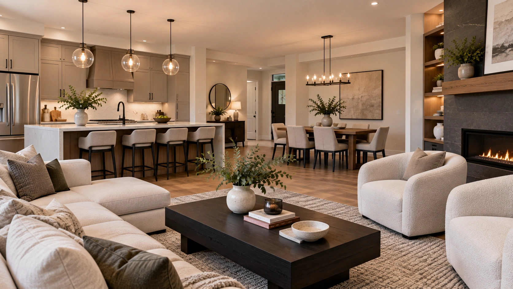
The King George Corridor, South Surrey, BC is the South Surrey stretch of King George Boulevard, inside the City of Surrey, BC — east of Highway 99 and south of 16 Avenue. It's a mixed corridor of 1950s and 1960s bungalows, newer custom builds and townhouses, not a single neighbourhood centre.
First, the name problem — because it trips up almost everyone
King George Boulevard runs most of the length of Surrey, BC, and several unrelated places share the name at the far end of it.
King George Hub is a mixed-use high-rise development at King George Boulevard and Fraser Highway in Surrey City Centre — North Surrey, next to the SkyTrain. A 2026 story about more than 3,200 new homes at 7790–7850 King George Boulevard describes a site in Newton, also North Surrey. And a 1995 City of Surrey planning document, the King George Highway Corridor Land Use/Development Concept Plan, studied a different corridor again.
None of those is this place. The King George Corridor, South Surrey, BC is the MLS® sub-area covering the stretch of the boulevard inside South Surrey, roughly between Elgin Chantrell, South Surrey, BC and Sunnyside Park Surrey, South Surrey, BC — a different part of the city, and a different housing market from the towers in Surrey City Centre.
That matters because it changes what a search tells you. If you're reading about SkyTrain-adjacent presale condos, you've drifted into North Surrey without noticing.
Where the corridor actually sits
The neighbourhood profiles covering the area put it just east of Highway 99 and south of 16 Avenue, with Elgin Chantrell, South Surrey, BC on its western side and Sunnyside Park Surrey, South Surrey, BC centrally adjacent.
The honest caveat matters more here than in most areas: the City of Surrey does not publish a planning-boundary map naming exact bounding streets for this sub-area. The lines above are directional. For a specific property, the boundary that governs zoning, catchment and permitted use is the one the City applies to that parcel, not an outline on a listing site.
What the area is like day to day
The King George Corridor, South Surrey, BC is a corridor rather than a neighbourhood centre — a stretch of King George Boulevard sitting between two major roads, where greenbelt buffers separate the boulevard from Highway 99 and give the area a quieter character than a highway address suggests.
That's the thing the area is most often wrong-footed on. "Corridor" suggests traffic and strip malls. In practice the greenbelt sits between the two arteries, and the residential streets off the boulevard don't feel like highway frontage.
The second thing is that there is no village core. Crescent Beach, South Surrey, BC has the waterfront, Morgan Creek, South Surrey, BC has a golf course, and Sunnyside Park Surrey, South Surrey, BC has South Surrey Athletic Park. Here the organising feature is the road itself and the access it gives you. If you want a neighbourhood with a centre you walk to, this isn't it — better to know that before you spend three weekends looking.
The housing mix
The corridor was originally developed through the 1950s and 1960s, as single-family homes with small commercial buildings along the boulevard. What stands there now is layered on top: older bungalows from the original build-out, newer custom detached homes on redeveloped lots, and townhouse and condominium developments.
That mix is the practical point. The estate areas immediately west — Elgin Chantrell, South Surrey, BC in particular, where lots run from half an acre upward — are predominantly large detached homes. This corridor carries a broader range of housing forms, and so a broader range of entry points into South Surrey, BC.
One thing I won't give you is a percentage. There is no verified detached / townhouse / apartment split published for this sub-area, and the description above is exactly that — descriptive, not statistical.
The other honest note on older stock: a home built in the 1950s or 1960s is often well-built and well-located, and it also comes with an older roof, older windows, older drainage and an older electrical panel. That isn't a reason to walk away. It's a reason to read the inspection carefully and price the next decade of maintenance into the offer.
Getting around
Access is the whole argument for this area. Highway 99 runs along the western edge and is the defining feature. North it takes you toward Vancouver; south it reaches the Peace Arch border crossing quickly. For a household with a regular reason to cross the border or commute north, that proximity is the argument for looking here rather than deeper into the peninsula.
King George Boulevard is the north–south spine through the area itself and carries most local traffic.
16 Avenue is the east–west road at the northern edge.
On transit: there is no SkyTrain in South Surrey, BC. TransLink Route 351 runs along King George Boulevard through the corridor, connecting Crescent Beach and White Rock Centre north to Bridgeport Station in Richmond, BC. That's a real connection to the wider network — and it's one bus route, which is the honest way to put it rather than calling the area "transit-served". Most households here drive for most trips.
Schools
Several Surrey Schools catchments are reported to reach into this area: Semiahmoo Trail Elementary, Sunnyside Elementary, Bayridge Elementary, Jessie Lee Elementary and South Meridian Elementary at the elementary level, with Semiahmoo Secondary — whose catchment is shared with the neighbouring City of White Rock, BC — and Earl Marriott Secondary at the secondary level. Two private schools also serve the wider South Surrey, BC area: Southridge School and White Rock Christian Academy, both K–12.
Read that list as a starting point and nothing more. The catchment list circulating for this area comes from real-estate marketing pages, not the school district's own catchment tool, and it is unusually wide — what you'd expect from a corridor bordering several neighbourhoods rather than sitting inside one. Surrey catchments are assigned by address, not by neighbourhood name. If schooling is part of the decision, confirm the current catchment for the property with Surrey Schools before you write an offer. I'm naming schools, not ranking them.
Parks and green space
The greenbelt buffers between Highway 99 and King George Boulevard are the green space the area is actually credited with, and they're the reason the corridor reads quieter than its name.
Beyond that, I'd rather be straight than pad the section: there is no large named park unique to this sub-area. The big parks a resident here uses belong to the neighbours — Crescent Park, more than 128 acres of second-growth forest with trails and streams, in Elgin Chantrell, South Surrey, BC to the west; Sunnyside Acres Urban Forest Park, 140 hectares of regrown forest, and South Surrey Athletic Park, bounded by 24 Avenue, 18 Avenue and 148 Street, both in Sunnyside Park Surrey, South Surrey, BC.
They're minutes away, which is the point of a road with this much access. But "minutes away by car" and "at the end of my street" are different things, and a listing that calls this neighbourhood surrounded by parkland is quietly borrowing its neighbours' parks.
Who this area suits
It suits a buyer who wants Highway 99 and border access as a daily convenience rather than an occasional one, and who is comfortable driving.
It suits a buyer who wants into South Surrey, BC across a range of housing forms — an older bungalow, a newer detached build, a townhouse — rather than large detached estate product only. That includes a right-sizing buyer trading a large lot for less maintenance.
It is a weaker fit for someone who wants a walkable village core, a park at the end of the street, or the acreage character of the estate areas immediately west.
The honest trade-offs
It's a corridor, not a centre. No village high street, no focal point. The geography works for access, not for strolling.
Arterial roads on both sides. The greenbelt buffers help; they don't make Highway 99 and King George Boulevard disappear. Stand on the street at rush hour before you decide.
The catchment picture is genuinely unclear here. Verify per address.
Thin public documentation. No municipal boundary map, no unique park, no published housing-mix split. That doesn't make it a worse place to live — it means more of the diligence falls on the specific property than on the neighbourhood's reputation.
What the numbers can and can't tell you here
There is no published benchmark price for the King George Corridor, South Surrey, BC. I checked that against the source rather than assuming it: the Fraser Valley Real Estate Board publishes benchmarks for the South Surrey & White Rock zone and has never broken that zone into sub-areas. No sub-area in South Surrey, BC has one.
What is published, for the zone as a whole, is this. As of August 2026, the FVREB composite benchmark for South Surrey & White Rock was $1,010,000, down 7.2% year over year. Detached was $1,649,200, down 7.5%. Townhouse was $820,300, down 11.1% — the weakest townhouse segment of any zone in that month's report. Apartment was $550,800, down 6.2%. Board-wide, the Fraser Valley recorded 941 MLS® sales in August 2026, up 1% year over year, with a sales-to-active-listings ratio of 10%, below the 12–20% band the board calls balanced.
Those are zone-wide figures. The zone spans the City of White Rock and all eight South Surrey sub-areas, from waterfront apartments to acreage-sized estate lots. They are not a number for these streets, and a precise corridor average is an estimate however confidently it's quoted.
The housing mix tells you more: this area carries older detached stock, newer detached builds and attached homes side by side, a different product set from the estate areas that pull the zone's detached benchmark upward. You can browse King George Corridor homes for sale, or widen it to South Surrey and White Rock, BC homes for sale — and if you want a real number for a real house, that's a conversation about specific comparable sales, not a blog post.
Frequently Asked Questions
Where exactly is the King George Corridor, South Surrey, BC?
It's the stretch of King George Boulevard inside South Surrey, in the City of Surrey, BC — just east of Highway 99 and south of 16 Avenue, with Elgin Chantrell to the west and Sunnyside Park Surrey centrally adjacent. Those boundaries come from local neighbourhood profiles rather than a City of Surrey planning map, so treat them as directional rather than exact.
Is the King George Corridor, South Surrey, BC the same as King George Hub?
No, and it's the most common confusion about the area. King George Hub is a high-rise development at King George Boulevard and Fraser Highway in Surrey City Centre, which is North Surrey and next to the SkyTrain. The large King George Boulevard housing development reported in 2026 is in Newton, also North Surrey. The boulevard runs most of the length of Surrey, BC, and the South Surrey sub-area is an unrelated part of the city with a different housing market.
What kind of homes are in the King George Corridor, South Surrey, BC?
A genuine mix. The area was first developed through the 1950s and 1960s as single-family homes with small commercial buildings along the boulevard, and it now holds older bungalows from that era, newer custom detached homes on redeveloped lots, and townhouse and condominium developments. That range gives it broader entry points than the estate areas immediately west. No verified percentage split by housing type is published for the sub-area.
Which schools serve the King George Corridor, South Surrey, BC?
Semiahmoo Trail Elementary, Sunnyside Elementary, Bayridge Elementary, Jessie Lee Elementary and South Meridian Elementary are reported to cover parts of the area, with Semiahmoo Secondary and Earl Marriott Secondary at the secondary level. Semiahmoo Secondary's catchment is shared with the neighbouring City of White Rock, BC. Southridge School and White Rock Christian Academy are private K–12 schools in the wider area. That list comes from real-estate sources rather than the school district, and Surrey catchments are assigned by address, so confirm the current catchment for a specific property with Surrey Schools before you make an offer.
How do you get around the King George Corridor, South Surrey, BC?
Mostly by car. Highway 99 runs along the western edge, north toward Vancouver and south to the Peace Arch border crossing, and King George Boulevard is the local north–south spine, with 16 Avenue at the northern edge. There is no SkyTrain in South Surrey, BC. TransLink Route 351 runs along King George Boulevard, connecting Crescent Beach and White Rock Centre to Bridgeport Station in Richmond, BC — a real connection, and one route rather than a network.
What do homes cost in the King George Corridor, South Surrey, BC?
There is no published sub-area benchmark. The Fraser Valley Real Estate Board reports South Surrey & White Rock as a single zone and has never broken it into sub-areas. As of August 2026 the zone-wide figures were a composite benchmark of $1,010,000, down 7.2% year over year, detached at $1,649,200, down 7.5%, townhouse at $820,300, down 11.1%, and apartment at $550,800, down 6.2%. Those cover the City of White Rock and all eight South Surrey sub-areas together, so any precise corridor figure is an estimate rather than a published number.
If a specific school is driving your search, you can find homes by school catchment rather than by neighbourhood — catchment boundaries don't always follow the lines you'd expect, and two homes a few blocks apart can be assigned to different schools.
Related Reading
What Homes Cost in the King George Corridor, South Surrey, BC
Living in Sunnyside Park, South Surrey, BC: What It's Actually Like
Living in Elgin Chantrell, South Surrey, BC: What It's Actually Like
About the Author
Caroline Jeklin is a REALTOR® with Royal LePage Wolstencroft Realty, licensed since 2021, working across the Fraser Valley. Between 2021 and 2026 she has been part of 57 transactions ranging from $302,000 to $4,200,000, as of August 2026. Areas like the King George Corridor, South Surrey, BC — thin on public documentation, unclear on catchment — are where the address-specific homework matters most, and that's work she'd rather do before an offer than after one. Read more about Caroline Jeklin, or reach her directly at 604-319-5052 or caroline@carolinejeklin.com.

 The data relating to real estate on this website comes in part from the MLS® Reciprocity program of either the Greater Vancouver REALTORS® (GVR), the Fraser Valley Real Estate Board (FVREB) or the Chilliwack and District Real Estate Board (CADREB). Real estate listings held by participating real estate firms are marked with the MLS® logo and detailed information about the listing includes the name of the listing agent. This representation is based in whole or part on data generated by either the GVR, the FVREB or the CADREB which assumes no responsibility for its accuracy. The materials contained on this page may not be reproduced without the express written consent of either the GVR, the FVREB or the CADREB.
Comments:
Post Your Comment: